Hello everyone! 
 City planning:
Efficiently construct a real 3D model, intuitively reflect building information and spatial distribution information, and assist in scientific planning of urban development.
 Infrastructure planning:
Precise restoration of complex scenes, comprehensive analysis of various geographic information, and visual display of planning effects.
 Land use planning:
Combining 2D and 3D models with a variety of surveying and mapping results, integrating multiple information such as geography, current situation, and planning, makes land planning more efficient and convenient.
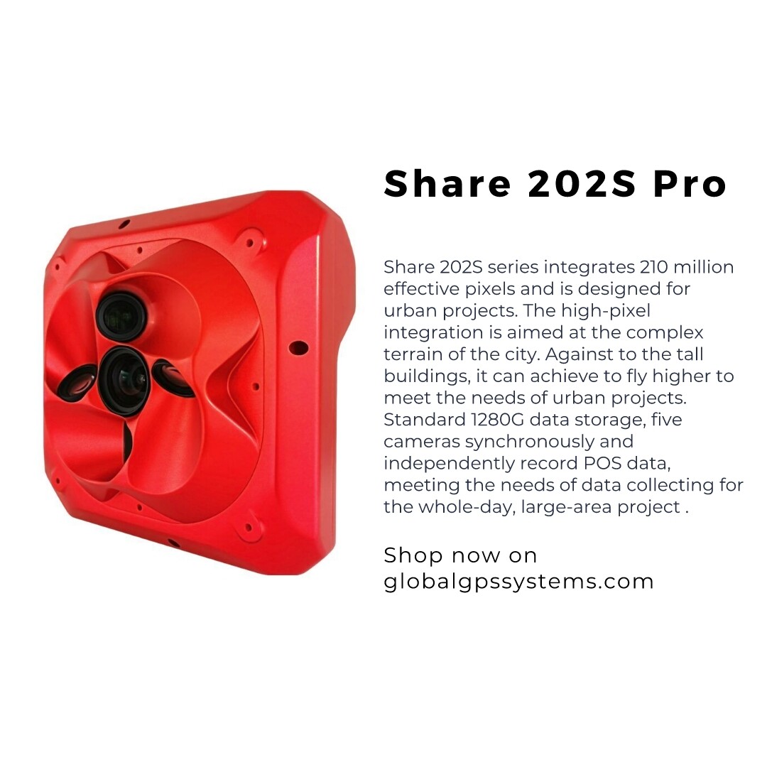
Shop here: Share 202S Pro | Lowest price online | Global GPS Systems