Hello guys 
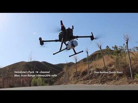
The LiAir 50N is a really lightweight cost-effective UAV LiDAR system. It’s powered by Velodyne’s VLP-16 sensor which makes it an ideal entry-level system for environments with minimal vegetation coverage.
The LiAir 50N system integration is comprised of multiple technologies, including:
- Laser Scanner (LIDAR sensor)
- GNSS (Global Navigation Satellite System)
- IMU (Inertial Measurement Unit)
- System Control and Storage Unit
- Power Supply and Management Unit
Range accuracy: ± 3cm
Weight: 1.4 kg (Incl. camera)
Scan Range: 100m at 20% reflectance
Shop now on globalgpssystems.com

