Hello everyone! 
Why surveyors choose Carlson Cadnet:
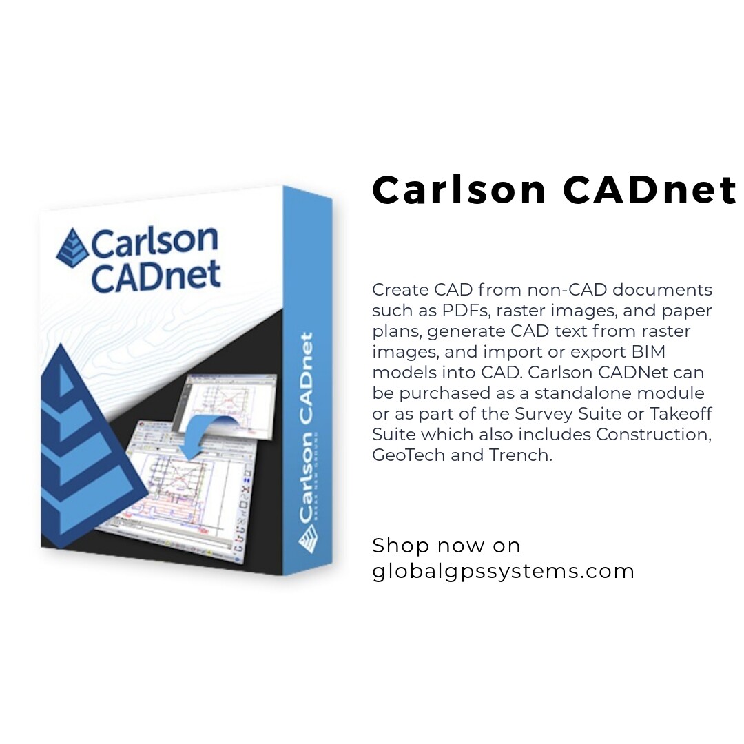
 Import PDF Files
 Import BIM using IFC Files
 Export Carlson surface to BIM using IFC Files
 Convert Raster images to vector CAD entities
 Modify Raster images using cut, copy, remove speckles and thicken commands
 Create CAD entities from the raster image using Trace functions and raster snaps
 Create text entities extracted from the raster images
 Digitize from paper plans or on-screen images
 Full set of digitize routines for points, polylines, areas, contours, profiles, sections and end-areas
Shop here: https://globalgpssystems.com/carlson-cadnet/ 

